
Start Moorhead Neighbors Research with the Block
Public sources describe a block in layers. The city and county maps show parcels and land labels. Recorder documents settle the legal relationship between lots. MNVotes can check a registration only when the requester already supplies the name, date of birth, and address details. Historical shelves show earlier households, not a current list. Read the result as evidence of a parcel, a record role, or a dated listing.
| Source | What It Shows About a Block | Access |
|---|---|---|
| Moorhead GIS | Adjacent parcel labels, units, lots and blocks, aerial and flood context | City GIS map and services |
| Clay GIS | Tax parcels, cadastral reference, subdivisions, and geopolitical areas | County GIS and online services |
| Recorder plats and deeds | Legal adjacency, lot or block references, and dated party instruments | Laredo/Tapestry or Recorder counter |
| MNVotes | Whether a supplied registration combination matches | Name, date of birth, and address lookup, not a block list |
| Voter-list product | Statutory fields and history for selected geography | Eligible registered voter, certification, and $30 or $46 fee |
| HCSCC and LARL | Historic households, businesses, maps, newspapers, and block context | Archive, library, microfilm, or research help |
| Neighborhood Services | Block clubs, Night to Unite, and public city channels | City program, with no full member roster |
A parcel record may name a taxpayer or owner and show a mailing address. It does not establish who is present at the site. A historic directory can identify a householder at a date, while a city map can identify a lot. Keeping those roles separate is the safest way to understand information about Moorhead neighbors.
Map Moorhead Neighbors from One Parcel Outward
Use the address to find the subject parcel in Moorhead GIS or Clay GIS, then browse outward by clicking the parcels that share an edge or sit across a public way. Moorhead's Parcel Annotation MapService has address labels, address unit numbers, parcel ID labels, line dimensions, block and lot numbers, and street-name labels. Clay adds its TaxParcels, Subdivisions_and_Lots, CadastralReference, and GeopoliticalAreas layers.
- Locate the supplied address and note the parcel ID, site address, and visible lot or block reference.
- Identify each adjoining parcel through the map, including a parcel across a corner where the boundary is not obvious.
- Open the correct city or county property record for each parcel and label any name by its actual record role.
- Compare the parcel IDs and legal descriptions in Recorder sources when the edge, access strip, or shared area matters.
- Move to the Moorhead street address directory when the question expands from one block to a whole named street.
There is no documented public radius or neighbor export for these map services. The local method is deliberate map browsing and parcel identification. That slower process avoids turning a map result into a claimed list of everyone around an address.
Confirm the Legal Edges of a Moorhead Block
Map lines are valuable for orientation, but a recorded plat or legal description controls when a boundary must be confirmed. A plat lays out a subdivision's lots, blocks, streets, and easements. A legal description is the formal land identity found in a deed or title record. Corners, condominium parcels, access strips, and rights-of-way can make an apparent neighbor relationship less direct than it looks on a map.
Clay parcel geometry derives from Recorder legal descriptions, yet the county notes approximate map accuracy of plus or minus two feet in urban areas and plus or minus forty feet in rural areas. Use the Laredo or Tapestry record route to search by parcel, subdivision, section-township-range, or legal description, then inspect a recorded instrument or ask the Clay County Recorder for the proper copy route. Do not use aerial imagery, flood layers, or a parcel label as proof of a legal boundary.
A Moorhead Parcel Name Is Not a Household List
The most common block-research mistake is treating a name in one source as a complete statement about a household. In a Moorhead assessment record, the taxpayer or owner field identifies the role recorded for the parcel and may use a mailing address elsewhere. In a deed, a grantor or grantee identifies a party to that transfer. In a historical directory, a person may be a householder, boarder, adult child, or business contact at a stated date.
Use the label, date, and source together. A homestead classification can be useful owner-occupancy evidence but is not conclusive proof of present residence. That distinction protects both accuracy and privacy when comparing several parcels around one Moorhead address.
Moorhead Neighbors and Minnesota Voter Rules
MNVotes is a confirmation tool for a supplied combination, not a block roster. Its lookup requires first and last name, date of birth, and address elements. The form offers ZIP or county paths, with city or township, house number, street, and an optional unit field where relevant. It is updated nightly, but a recent registration application can take up to 14 days to appear.
Minnesota's registered-voter list is a separate statutory product. The requester must be an eligible registered Minnesota voter, certify the permitted use, and choose a geography and format. Most local or geographic products cost $30, while the statewide product costs $46. The ordinary list contains specified fields such as name, address, year of birth, voting history, phone when supplied, and districts. It does not supply full date of birth or ballot choices, and it is not an open invitation to compile a block-by-block dossier.
Public Moorhead Channels for Block Connections
The City of Moorhead neighborhood material describes resident-formed block clubs, community events, Night to Unite, and public ways to connect. It does not provide an official citywide neighborhood-association or HOA membership roster. The same is true of congregation, fraternal, and civic membership lists found in the research: an address does not establish membership, and no current public roster should be inferred from it.
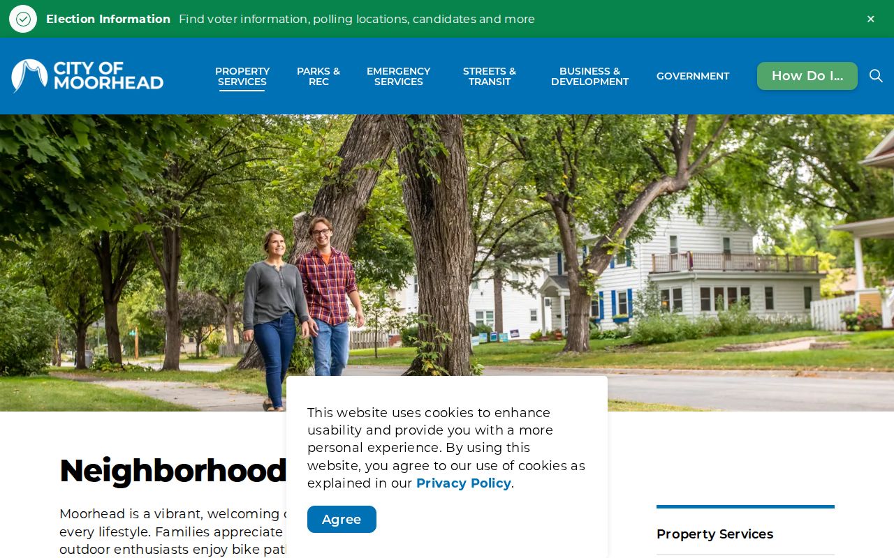
For a real block-club or community question, use the city's published channel rather than attempting to assemble a private list. The Resident Guide identifies a Community Policing Coordinator route, and the city uses Neighborhood Services for related concerns. A request for an existing city GIS layer can go through the Clerk, but the Minnesota Government Data Practices Act does not require the city to create a new neighbor list.
| Public contact route | Appropriate use |
|---|---|
| Moorhead Neighborhood Services, 218-299-5434 | Code concerns and city neighborhood-program questions, not a household roster. |
| Community Policing Coordinator route in the Resident Guide | Public block-club and Night to Unite connection information. |
| Moorhead City Clerk, 403 Center Ave, 218-299-5304 | Request an existing city-held record or GIS layer under the MGDPA. |
Historic Moorhead Blocks Need Older Sources
HCSCC and LARL are the local route for a past block. HCSCC holds Moorhead directories, tax rolls, newspapers, maps, photographs, plats, and census material. LARL offers microfilm readers, regional newspapers, research assistance, and library access to genealogy databases. These sources can establish that a household or business was recorded at a place on a particular date, but they do not identify the current people on the block.
The 1891 Fargo and Moorhead directory is particularly useful when an address is described by cross street rather than a number. Moorhead house numbering did not arrive until 1902. Decode the abbreviation, locate the cross-street interval on a historic plat or Sanborn map, and then compare nearby directory entries. That sequence is stronger than assuming that an old street description maps cleanly to a modern numbered parcel.
Historic block work benefits from a date-by-date record trail. Pair an 1891 directory entry with a tax roll, census return, newspaper item, or recorded deed from a nearby year. A directory may identify a householder, an adult child, a boarder, or a business connection, and the abbreviation list matters. Treat that as a dated clue about a Moorhead block, then use the parcel and legal description to test whether it belongs to the same place.
Moorhead Neighbors: Official Records and Commercial Tools
Official records identify a source, date, and record role. Commercial neighbor-lookup products may combine public and purchased data into a convenient report, but their coverage can be stale, merge people with similar names, or confuse a mailing address with a site address. They cannot override a Recorder document, assessor entry, privacy protection, or statutory voter limit.
| Source type | Strength for a block question | Limit to remember |
|---|---|---|
| Official map and property records | Traceable parcel, assessment, and map context from the custodian | A taxpayer or owner field is not a complete occupancy finding. |
| Recorder documents and plats | Legal description, recorded parties, and dated land instruments | Parties to a document are not automatically current occupants. |
| Commercial neighbor products | May offer a starting lead or a broad address association | Can be inaccurate, lack source context, and omit confidentiality limits. |
When sources conflict, return to the most direct custodian and compare dates. A current parcel ID, the exact legal description, and the recorded document date are more useful than a broad compiled result. Stop once the record supports the narrow question rather than extending the research into private life.
Privacy Limits on Moorhead Neighbors Research
Some gaps are deliberate. Minnesota Safe at Home gives eligible participants an assigned mailing address while protecting the actual location. Voter safety withholding, protected court information, and other classifications can also make a name absent from an otherwise expected search. A no-result is not permission to infer an address from unrelated public material.
Parcel records, maps, and historic directories do not disclose every household member. Utility and delivery data are not part of the public block-record chain. Use published city contacts and legal records for personal, lawful research, and avoid repeated contact, monitoring, harassment, intimidation, or harm directed at any person.
Lawful use. Research about Moorhead neighbors is for understanding a block and its public records. Do not use it to stalk, harass, or threaten anyone.