
Start a Moorhead Residents Directory Search
Moorhead has no public master list of every resident. A useful residents directory search instead follows the strongest official trail for the fact at hand. A current street address belongs first with the correct property system. A supplied name, date of birth, and address can be checked through the Minnesota voter tool. A past household is often best found in the Historical and Cultural Society of Clay County collections. Each result needs a label: owner, taxpayer, registrant, party to a document, or historical householder are different roles.
Use the narrowest source first, retain the search date, then compare an independent record before drawing a conclusion. A missing result may reflect a protected address, a confidential record, an older unindexed instrument, an alternate spelling, or an address outside the city system. That is more reliable than trying to force unrelated rolls into one list.
- Check whether the address is inside Moorhead city limits. Use the city property route for city parcels and Clay County Assessor/GIS for county parcels outside the city.
- Keep the parcel number, site address, mailing field, and legal description. Those fields make the next search specific.
- Use the Recorder’s instrument index for a dated deed or lien trail, or use Minnesota’s voter lookup only when its required identity and address fields are already known.
- For a historical household, compare an HCSCC directory year with tax rolls, census material, newspapers, or a map.
- Ask the custodian for an existing record when the online trail stops. A request cannot create a new list or bypass a confidentiality rule.
Moorhead Residents Directory Custodians
The office behind a result matters as much as the result itself. The Recorder holds countywide recorded instruments and vital or marriage functions. Moorhead Assessing serves city parcels, while Clay’s assessor and GIS serve county parcels beyond those limits. The Auditor-Treasurer administers local election work. The City Clerk is the practical public-data route for city records that do not have a dedicated portal. For an address-by-address chain, use the Moorhead street directory route rather than treating a single property screen as a household list.
Clay County Recorder
3510 12th Ave S, Government Center Door 1
Moorhead, MN 56560
218-299-5031
Moorhead Assessing / Clay Assessor
City parcels use Moorhead Property Information
County parcels use Clay Assessor/GIS
Clay Assessor: 218-299-5017
Clay Elections
3510 12th Ave S, PO Box 280
Moorhead, MN 56560
218-299-5006
Moorhead Parcel Records Split by Jurisdiction
The first Moorhead residents directory decision is geographic. Clay County’s assessment responsibility excludes city parcels, which Moorhead Assessing maintains. The city property page describes valuations, land and building information, sales history, special assessments, permit history, tax information, and related tools. Clay QuickSearch is the clearer county form. It returns a taxpayer and mailing field beside the site address, so neither field should be silently relabeled as current occupancy.
Start with the city and county map layers when the boundary is unclear. The city GIS offers property, aerial, and flood-map context. Clay GIS says parcel lines derive from Recorder legal descriptions and are approximate, especially outside urban areas. A plat or recorded legal description settles a line question better than the screen view.
Moorhead’s public-data request route is the source shown below for city-held records that need a custodian request.
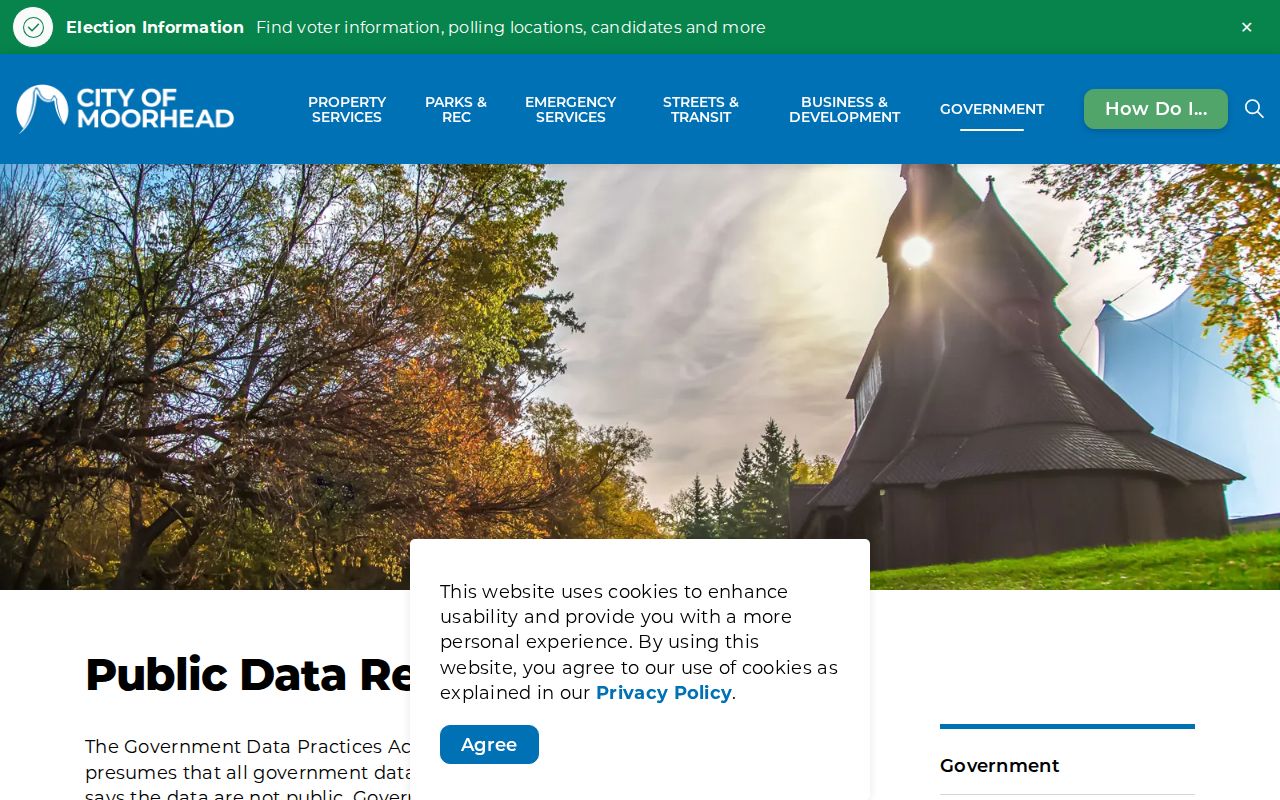
City-held information follows the public-data and custodian route when a map or property screen does not expose the needed existing record.
Read the Clay Parcel Results Carefully
Clay QuickSearch accepts either an address or parcel ID. Its output is useful because it keeps assessment and location fields together. Save the result before following the legal description into Recorder records. The public form is an entry point, not a claim that a listed taxpayer lives at the property.
| QuickSearch field | How it helps |
|---|---|
| Parcel ID or address | Two alternative ways to begin the county search. |
| Taxpayer name and mailing field | Assessment correspondence information, which may differ from a site occupant. |
| Site address | The physical location tied to the parcel result. |
| Section, township, range and abbreviated legal | Terms that connect the parcel to a deed, plat, or older land index. |
| Reports, tax, assessment and map links | Next steps within the county’s documented property trail. |
Note: A city parcel can require the Moorhead source even when a county search result looks similar.
Current Moorhead Residents Directory Sources
Current directory-like sources cover different roles. The city staff directory is a contact list, not a citywide resident roll. The voter tool confirms a registration only after the required identifiers are supplied. Deed and property records can establish a dated ownership or taxpayer connection. Use the source named in the result, and keep its narrower meaning when comparing it with another record.
| Source | Role recorded | Custodian | Access route |
|---|---|---|---|
| City or county property record | Parcel, taxpayer, owner or mailing relationship | Moorhead Assessing or Clay Assessor/GIS | Property portal, counter, phone |
| Voter registration lookup | Supplied registration combination | Minnesota Secretary of State | Online identity and address fields |
| Recorded instrument index | Grantor, grantee, lien or document party | Clay County Recorder | Laredo/Tapestry, counter, copy request |
| City public records | Existing city-held data in the requested classification | Moorhead City Clerk | Written MGDPA request |
| Neighborhood channels | Public block-club and event information | Moorhead Neighborhood Services | City program, not a membership roster |
A name that survives this comparison can move into a focused Moorhead resident lookup, where court, voter, vital, and record-role limits matter.
Moorhead Voter Records Have Narrow Rules
The Minnesota Voter Registration Lookup asks for first and last name, month, day and year of birth, plus address elements. The address path can use ZIP or county and then asks for city or township, house number, street, and an optional unit. It updates nightly, but an application can take up to 14 days. A match confirms registration under the tool’s rules. It does not create an open roll of everyone on a Moorhead street.
Minn. Stat. §201.091 separately controls voter-list products. An eligible registered Minnesota voter may request listed geographic products and must certify the permitted use. Safety withholding and Safe at Home can produce a valid non-match. That is why a voter result should be one dated check among several, not the entire residents directory answer.
Moorhead Recorder Index Milestones
The Clay County Recorder’s online Grantor/Grantee computer index begins on January 1, 1987. Older official Grantor/Grantee books remain important, while improved tract indexing begins May 1, 1996. Parcel IDs start appearing on deeds in 1996 and all documents in 1999. Those dates explain why an address trail can be straightforward for one era and require book, page, subdivision, or legal-description work for another.
Clay’s online real-estate records information describes Laredo and Tapestry searches by party, date, document type, parcel, subdivision, tract, legal description, and book or document number. Tapestry has a per-search charge and Laredo is subscription based. Counter inspection and paid copy retrieval are alternatives when the online index ends.
Useful Moorhead check. A known parcel number is often the strongest bridge from a property screen to a recorded document, but keep the full legal description with it.
Keep Each Moorhead Record Role Separate
A common search mistake is turning one role into another. The evidence label prevents that. A voter match concerns registration. A taxpayer is an assessment and mailing-field relationship. A grantor or grantee is a party to a recorded instrument. A directory entry is evidence for its printed date. A court party is a case role. These distinctions are especially important in Moorhead, where city and county property systems have different scope.
- Parcel
- A tax and land-record identifier for a piece of property, not a roster of its occupants.
- Index
- A finding aid that points to a record; it can omit details present in the original image or paper file.
- Criss-cross directory
- An address-oriented historical directory arrangement. Moorhead’s older entries can use cross streets instead of numbers.
- Resident roll
- A source that records a defined group for a stated purpose, not necessarily every person in a city.
Historical Moorhead Residents Directory Collections
The Historical and Cultural Society of Clay County is the central historical shelf. Its online directory items include Moorhead 1885, 1891, and 1915 volumes and a 1933 Rural Residents/Village Residents item. HCSCC describes Moorhead holdings from 1884 forward, although a surviving or digitized run is not necessarily annual. The 1891 C.C. Beckwith volume can identify householders, adult children, addresses, occupations, employers, and business proprietors for its date.
Those entries need local reading. Moorhead did not have house numbering until 1902, so an 1891 entry may locate a person by side of a numbered street and distance from an avenue. Check the abbreviation key, a historic plat or Sanborn map, and the next available directory before asserting that a modern number is the same place. The fuller shelf and entry-reading method are on the Moorhead city directories page.
Archives Give Moorhead Households Context
HCSCC, Lake Agassiz Regional Library, MSUM’s Northwest Minnesota Historical Center, and the Minnesota Historical Society provide the necessary fallback when a modern portal is too new. HCSCC has tax rolls, census material, newspapers, maps, plats, photographs, and naturalization resources. LARL offers microfilm readers, local publications, research databases, Minnesota Digital Library links, and interlibrary loan. MSUM preserves local newspaper and regional archival material.
Lake Agassiz Regional Library’s genealogy service explains its microfilm, databases, and assistance options.
Note: The Loop and library service arrangements have changed recently, so verify current microfilm access before visiting.
Moorhead Protected Addresses and Gaps
Minnesota Safe at Home gives eligible people a substitute address and limits disclosure of the real one. Public data can show the assigned address rather than a residence, and ordinary online ballot-status tools may not work normally for participants. Voter withholding, confidential vital data under Minn. Stat. §144.225, protected court fields, and pre-1987 land indexes can also cause an incomplete trail.
Minnesota Safe at Home describes the address-confidentiality program and its limits.
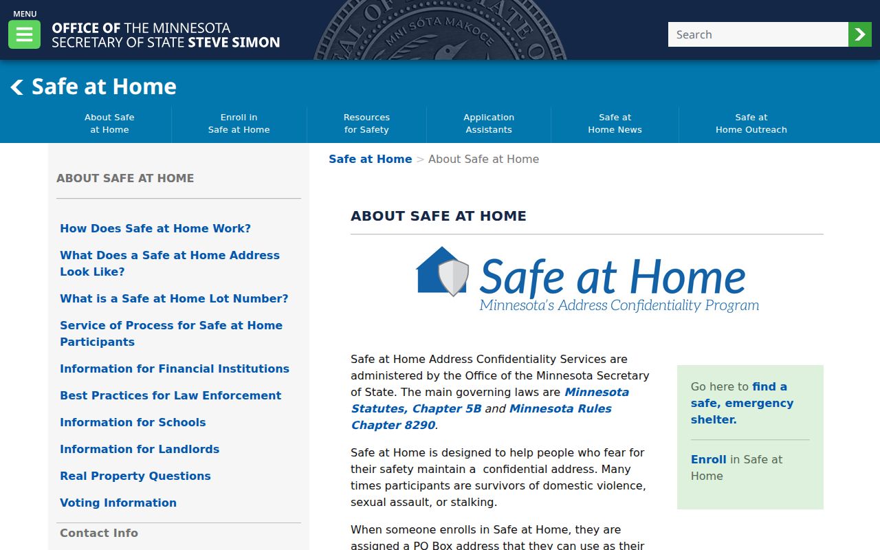
Confidentiality is a lawful part of the record system, not a gap to work around with a broader search.
Lawful personal research only. Do not use a Moorhead record trail to stalk, harass, intimidate, or harm a person. Minn. Stat. §609.749 addresses stalking and harassment conduct.
Request Existing Moorhead Public Data
When Moorhead holds a record but has not posted a search screen, use the City Public Data Request route under the Minnesota Government Data Practices Act, Minn. Stat. ch. 13. Name the department, record type, date range, address, parcel, or case number, and state whether inspection or a copy is wanted. Inspection is free; copies may have an actual or reasonable cost. The government does not have to create new data or reformat a record it does not keep.
The City Clerk at 403 Center Ave coordinates city public records and can route a request. Police records have their own written request process. For county land records, Recorder copy requests, counter review, phone assistance, and mail or email retrieval after payment remain available. This is the practical route when an office, not a search box, is the custodian.
Moorhead Court Results Need Verification
Minnesota Court Records Online is a statewide case search, not a residents directory. Its name, case-number, citation-number, and attorney tabs can be narrowed to Clay County, but a name result identifies a party role in a case. It does not confirm a current address, and a case category is not an outcome. Public remote access also excludes or limits protected addresses and several protected case types.
When the online display is incomplete, Clay County District Court at 807 11th St N has public terminals and court administration can explain the route for a specific file or copy. The courthouse and the City Clerk keep different material. Keeping that split in mind avoids an unnecessary city-records request for a court-held document.